Your Shopping Cart is empty.


Download sample
File Details
Published: 2025-09-19 04:40:30.171726 Category: Landscapes Type: Photo Model release: No
Share
       

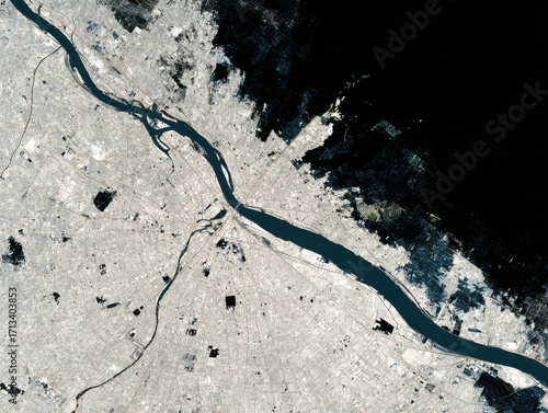
Urban planning analysis from space showing river, city layout, and building footprint with detailed urban infrastructure

Contributor: Nakarin
ID : 1713403853

TitleFilesize
Photo4928x3712


Buy on Adobe Stock

Keywords
city, river, urban, satellite, aerial, infrastructure, water, building, layout, planning, development, landscape, environment, transportation, road, network, land, architecture, geography, view, area, settlement, map, district, zone, metropolitan, residential, commercial, industrial, river bank, city landscape, top, design, space, image