Your Shopping Cart is empty.


Download sample
File Details
Published: 2016-08-11 16:24:56.714772 Category: Africa Type: Vector Model release: No
Share
       

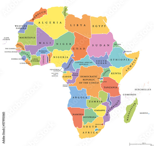
Africa single states political map. Each country with its own color area. With national borders on white background. Continent including Madagascar and island nations. English labeling.

Contributor: Peter Hermes Furian
ID : 117993060

TitleFilesize
Vector6318x6000


Buy on Adobe Stock

Keywords
africa, map, state, continent, political, madagascar, south africa, egypt, libya, land, coastline, country, colours, area, tunisia, morocco, sudan, kenya, border, horn, tanzania, arabian, nigeria, ethiopia, congo, uganda, rhodesia, zambia, atlas, cartography, geography, white background, white, background, isolated